Our Services
Forest inventory & assessment
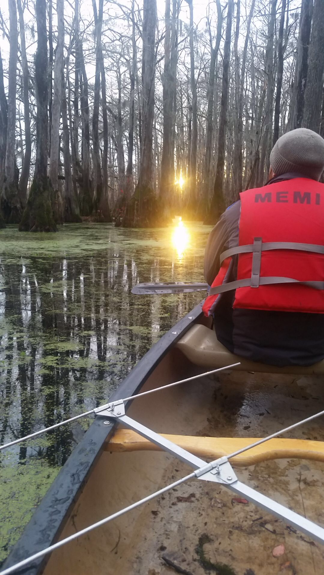
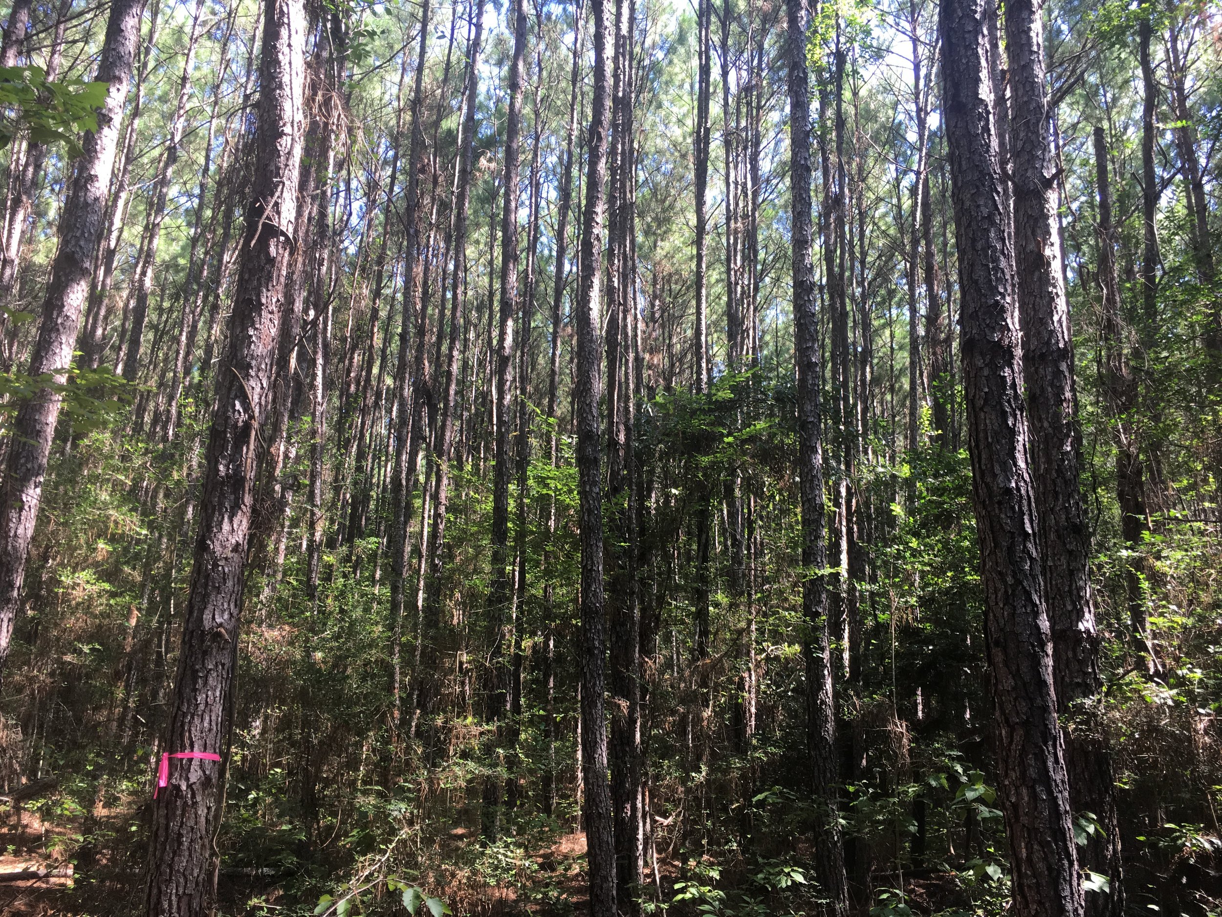
Conducting a forest inventory & assessment is the initial phase of any forest management planning process. Information gathered from a quantitative forest inventory improves our understanding of the community structure and species diversity of a forested ecosystem.
At Biotope, we have the technical knowledge, experience, and resources to provide this service across a multitude of forested ecosystems. In our time as a company, we have conducted forest inventory on approximately 90,000 acres of land in the eastern United States. Whether your property is an upland forest in the Appalachian Mountains or a cypress-tupelo swamp in the bayous of Louisiana, Biotope can provide you with thorough and accurate forest inventory analysis using the most up to date and economically feasible methodology.
Hazard tree assessment
Hazard Tree Assessment is the process of evaluating the likelihood that part or all of a tree will fail (fall) and cause damage and/or injury. Hazard tree assessments are a key component in landscape planning and utility right-of-way assessments. Biotope has extensive experience in implementing these surveys and can assist you in conducting Hazard Tree Assessment’s wherever they are needed or required.
Conservation easements & Mitigation banks
A conservation or mitigation bank is privately, or publicly owned property that is managed for its natural resource components and values. In exchange for monitoring, managing, and permanently protecting the land, the bank sponsor can sell or transfer habitat credits to permitees who need to satisfy legal requirements and compensate for the environmental impacts of developmental projects.
Landowners who wish to monetize their property using conservation easements and mitigation banks need professional guidance from a team with expertise in threatened & endangered species/habitat ecology as well as real estate and the economics behind conservation finance.
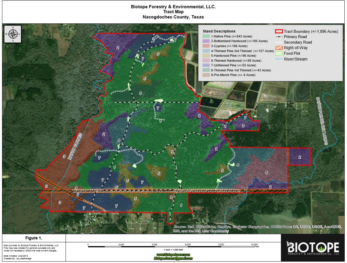
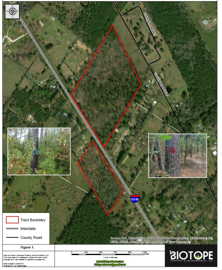
gis Mapping
Biotope uses state-of-the-art hardware and software to create custom, detailed maps using data gathered and verified in the field. Our GIS capabilities include:
Data collection and analysis
Data modeling
Aerial imagery interpretation using historical imagery and LiDAR.
Project/stand mapping
Vegetative and soil mapping
Mapping the spread of forest pests & diseases
Property Tax exemptions
We have the expertise to assist in the Special Land Use Application that potentially reduces the annual tax cost of a property. Our service includes an assessment of the property’s natural resources, application review and, if necessary, preparation of a natural resource management plan. Call us today for a free consultation regarding your property.
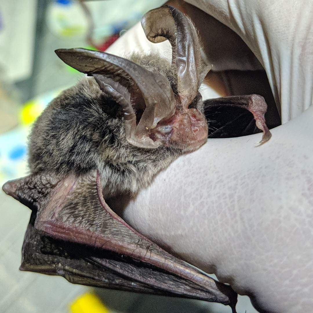
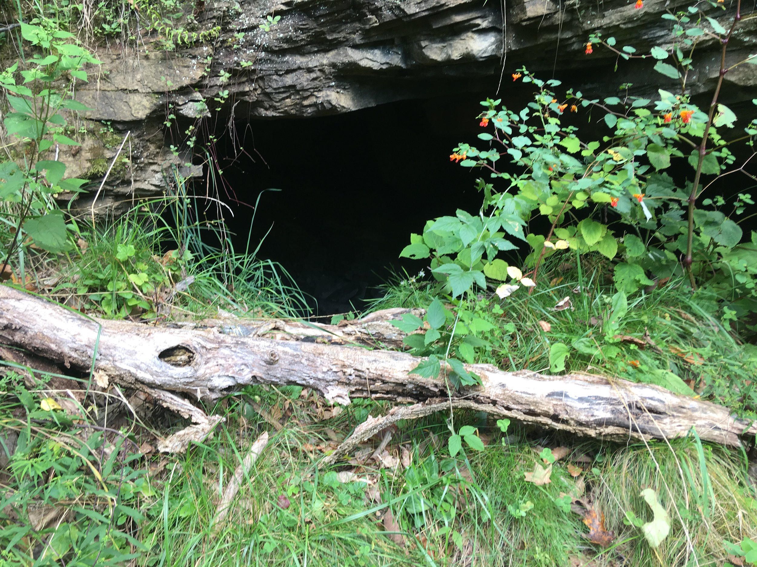
Threatened and endangered species surveys
Biotope specializes in Indiana bat, Northern long-eared bat, and gray bat research, providing assistance to a range of clients both in the public and private sector. We have created an assemblage of some the most diverse and experienced federally permitted bat biologists in the United States. Between our team at Biotope, we have over seven decades of experience with threatened & endangered bat research.
In addition to threatened & endangered bat surveys, our team consists of proven experts in implementing the following survey types:
Red-cockaded woodpecker surveys
Blanding’s turtle surveys
Massasauga rattlesnake surveys
Aquatic invertebrate surveys
Tiger beetle surveys
Butterfly surveys
Eastern box turtle surveys
Bird surveys
Acoustic surveys and monitoring
Botanical surveys
Habitat assessments
Forest Management & Habitat Conservation Plans
The second phase of natural resource planning is to create a management plan. A management plan outlines the management goals of the property and the plan of action required to accomplish those goals.
Our extensive experience in wildlife conservation and forest management allows us to design and implement customized management plans that fit the needs of any project. Our diverse background allows us to formulate management plans with virtually any goal in mind, including maintaining environmental compliance for protected wildlife species.
Whether your objectives consist of maximizing economic return or enhancing habitat for wildlife conservation, Biotope has the expertise to bring your goals to fruition in a timely and affordable manner.
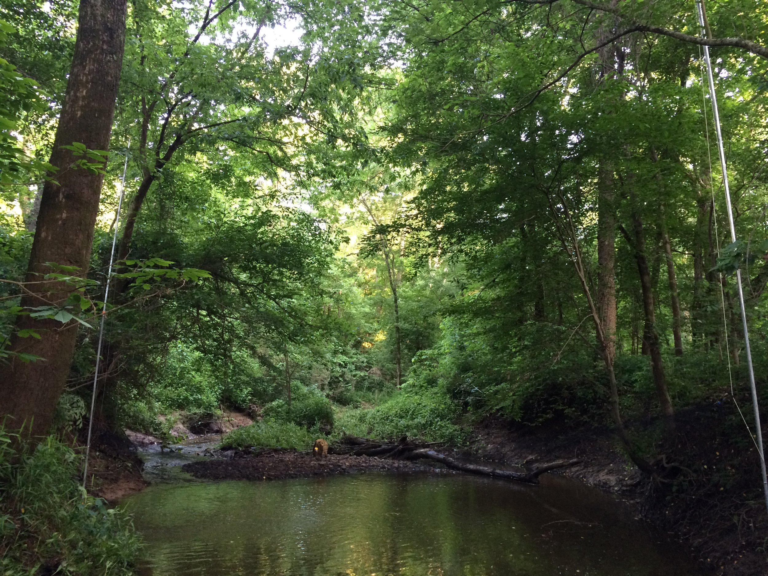
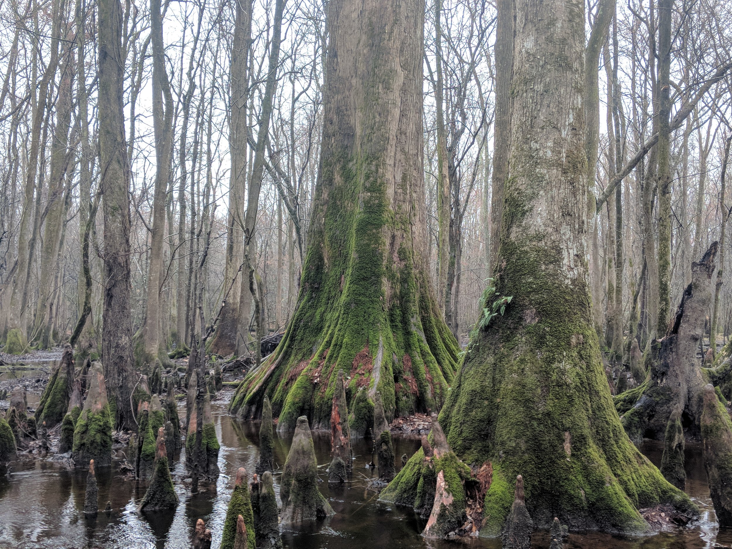
wetland delineations
Wetland habitats are protected throughout the United States by various local, state, and federal regulations. The boundary of a protected wetland is important to delineate before any construction or development is approved by various governmental agencies. Additionally, locating wetland boundaries is an important factor to consider in land purchases if the best development strategy for a given property and the amount of effort required to maintain compliance with governmental agencies is to be fully understood.
Biotope partners with a geographically diverse team of wetland scientists in the southeastern US that have conducted delineations across a wide range of ecosystem types in the region. We are confident in our ability to perform wetland delineations in a timely and economical manner while upholding all requirements set forth by various governmental agencies throughout the southeast.
“Examine each question in terms of what is ethically and aesthetically right, as well as what is economically expedient.”